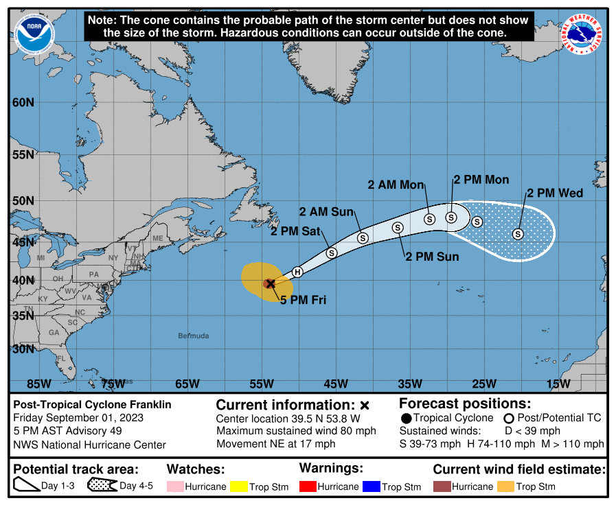
The latest weather forecast from NOAA's Hurricane Center show the following:
Tropical Storm Franklin Discussion Number  19
NWS National Hurricane Center Miami FL       AL082023
500 AM AST Fri Aug 25 2023

Franklin has generally changed little during the past several hours.
The storm remains strongly sheared with the low-level center
partially exposed near the western edge of the main area of deep
convection.  Cloud tops are quite cold on the system's east side,
but the storm continues to lack convective symmetry.  The initial
intensity remains 50 kt based on the earlier Air Force
reconnaissance data, which is a little above the current satellite
intensity estimates.

The storm is moving slowly to the east-northeast at about 5 kt in
weak steering currents near the base of a broad mid- to upper-level
trough.  A north to north-northwest motion is expected to commence
tonight or early Saturday as ridging builds to the east of Franklin
over the central Atlantic.  This motion should bring the core of the
system to the west of Bermuda on Monday and Tuesday.  The storm is
likely to turn northeastward and accelerate by the middle of next
week when it should move in the faster flow between the ridge and a
mid- to upper-level trough over eastern Canada and the northeast
U.S.  In general, the models have shifted westward this cycle, and
the NHC track forecast has been nudged in that direction.

Continued moderate to strong westerly vertical wind shear should
limit strengthening during the next 12 to 24 hours.  However, more
significant strengthening seems likely in a day or two when the
shear decreases while Franklin remains over warm water and in a
relatively moist environment.  Franklin is expected to become a
hurricane over the weekend and should reach a peak intensity near
major hurricane strength early next week.  The strengthening trend
should end around day 4, at which time the storm is forecast to
begin moving over cooler waters and into an environment of stronger
shear. The intensity models are in fairly good agreement, and this
forecast is quite similar to the previous one.
https://www.nhc.noaa.gov/text/refresh/MIATCDAT3+shtml/250841.shtml?
 |
| Tropical Storm Franklin moving slowly |
Shared from -> https://www.nhc.noaa.gov/refresh/graphics_at3+shtml/084425.shtml?cone

